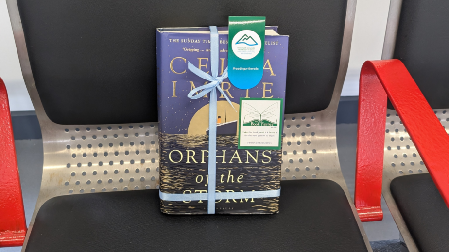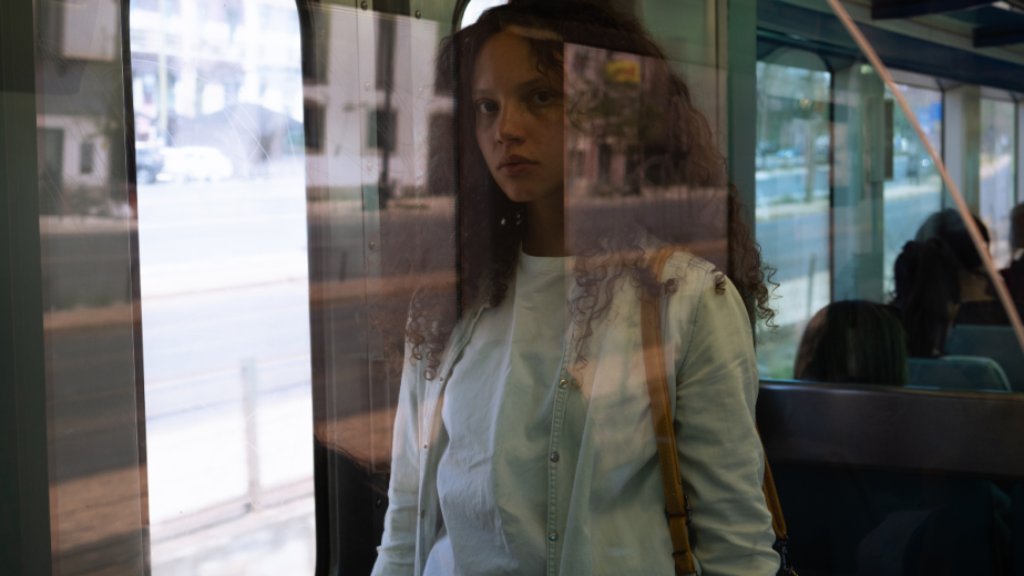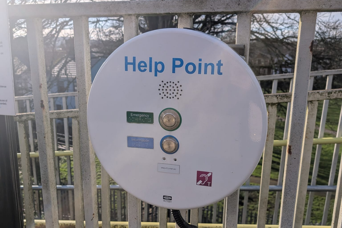
Many of the 35 stations across our area are platforms with no ticket offices, and often in isolated areas. We are undertaking a piece of work to map all of the stations and the nearest “safe spaces” – these could be official spaces, or a informal space like a local café or library.
Once this is completed, we will be looking for a method to share this information to the people who need it, at the relevant time.